
It’s time for me to cycle from Ukraine to Georgia.
I am on my way to Georgia, I am leaving Europe to get to Asia, on my way, for the first time I will be cycling on mountains, this will challenge my tour.
I am first heading south from Kiev, I will avoid Crimea and the war zone because I already have enough troubles on my way without armed conflicts going on.
I will reach Odessa and there take a boat to Batumi, in Georgia.
From Batumi, I will cycle to Tbilisi, the capital. Which is near Azerbaijan.

I am quite excited because I am going south where the weather should be good!
Georgia is known to be a welcoming country, I have heard great things about Georgia, especially the fact that Georgians are quite hospitable and make good food. Let’s hope they have some vegan stuff for me, let’s also hope that they will offer food to me while I cycle, as I have heard cyclists saying.
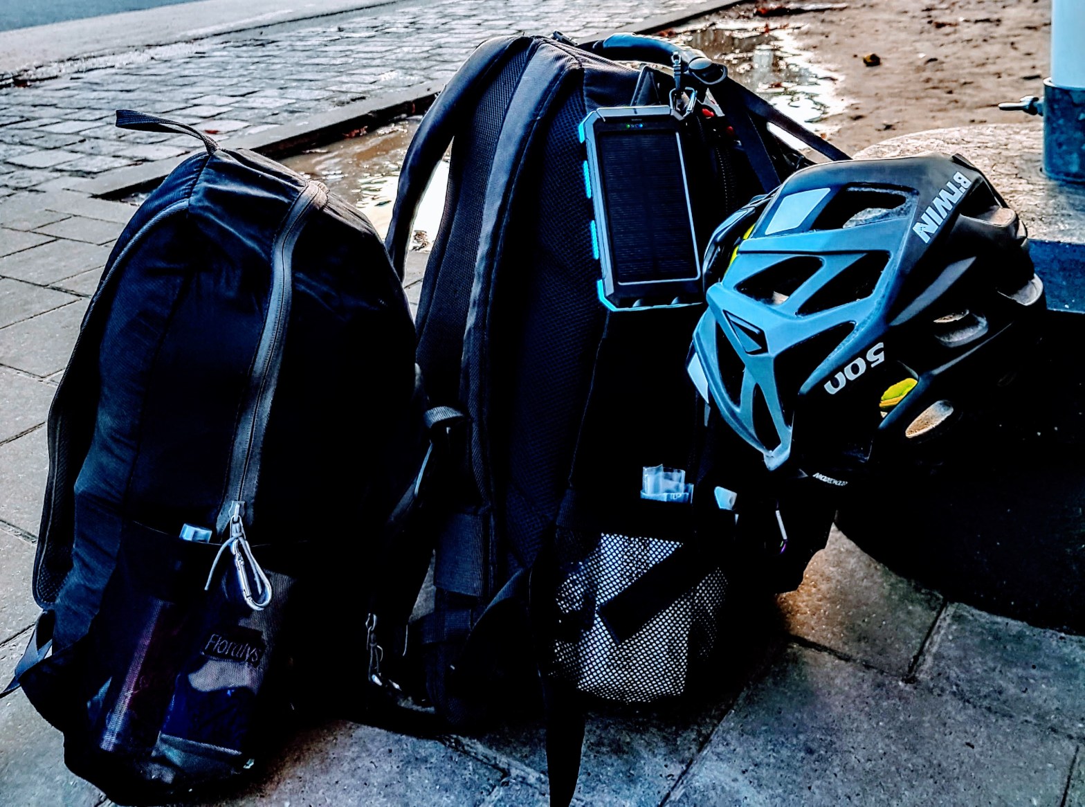
This time I have also a helmet and a 280 degrees camera.
I have just discovered an app with maps for bike touring, hiking, running and outdoors. It’s called Komoot.
After long online researches, it seems that this software it’s the best for people traveling to by bicycle.
It tracks your route and you can also share it.
What makes this app more useful than others is the possibility to get cycling directions for any country in the world, you can also download the maps offline (paid).
Once you planned the tour, you can save it and see how the way will be, the elevation, which kind of street you will be on (asphalt, path, paved…).
It tells you also how many kilometers will be uphill or downhill.
You get even information about how fit you should be to do a certain route and you can set your own fitness level.
From Kiev to the black sea

From Batumi to Tbilisi

AFTER HAVE TESTED THE APP
I have to say that Komoot is practical, fast, intuitive, easy to use, user-friendly, effective, smart.
It really covers all the world, the instructions easy to use, allowing you to share routes, embedding, and see them online.
All important information are on the panel when you navigate: altitude, next stop, speed, average speed, time to destination, km to destination.
So, I suggest you to try Komoot!
